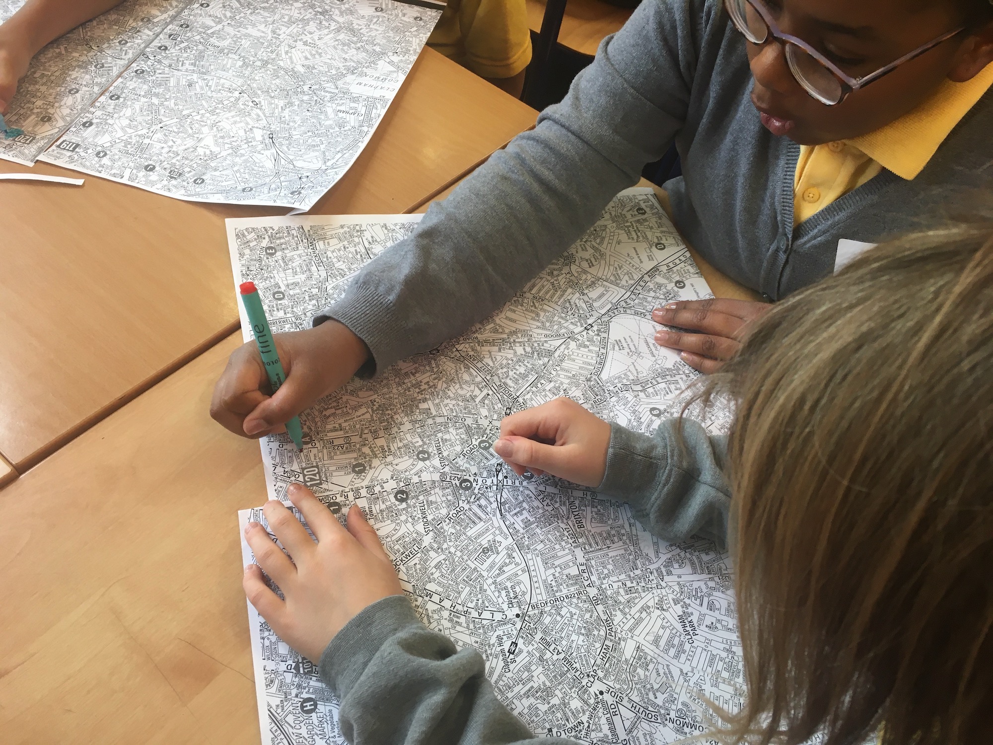
MAPPING YOUR NEIGHBOURHOOD
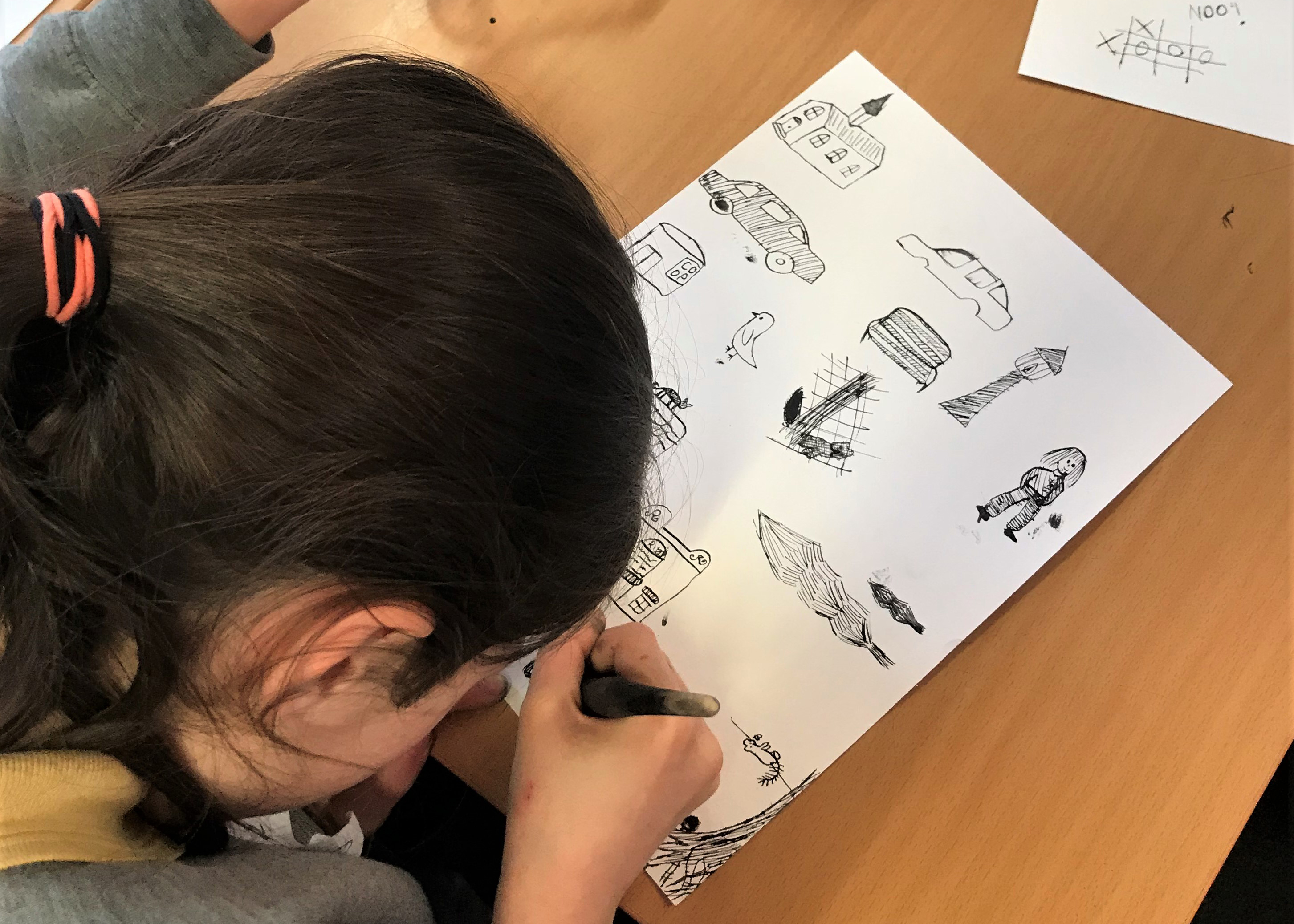
 

Explore your area, make maps of your favourite routes and the places you like to go

Vincent Van Gogh loved to walk around the places he lived. When he lived in Hackford Road he visited lots of different places in London including: The British Museum, Dulwich Art Gallery and the National Gallery.


He walked to his workplace in Covent Garden and back to Hackford Road every day. He said it took him forty five minutes so he must have been a very fast walker.


He also like to explore the streets and parks and wrote about what he saw on his walks in his letters home to his family. He illustrated his letters drawings of some of the buildings he saw on his walks.


Here are some activities that will show you how to explore your area and how to make your own illustrated map showing all the places that are important to you


Share your creations with us using

#vincentstreasures via instagramtwitter

or facebook

Exploring the Local Area

Studying old maps is a fascinating way to find out about the past.  Van Gogh House is situated at 87, Hackford Road in the borough of Lambeth, London.  It is an area which has undergone huge changes over the past 200 years. Take a closer look at the maps below to find out how.

Exploring your local archives

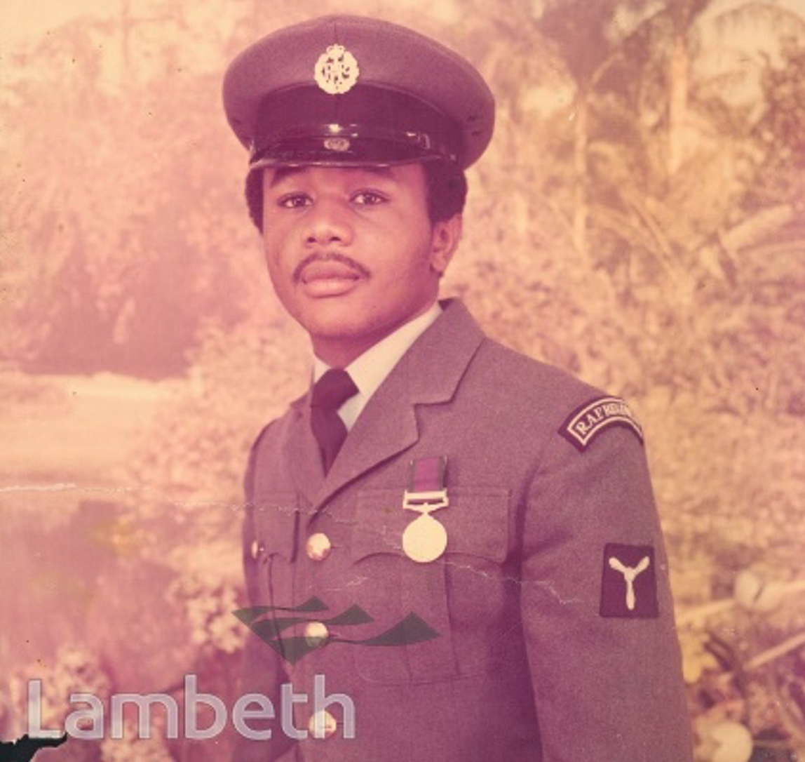
A portrait of a young RAF serviceman photographed by Harry Jacobs at 152 Landor Road, Stockwell, dated 20th May 1976. Ref: SP9000/2/17 - Courtesy of Lambeth Archives

Reading & Making Maps

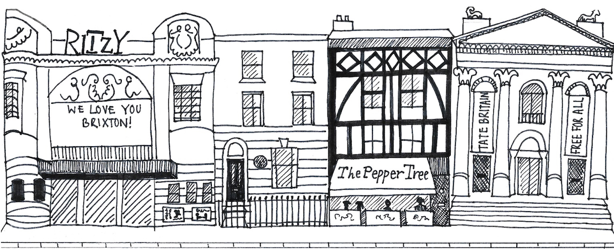
Landmarks & High Streets

This high street includes The Ritzy Cinema, Brixton, Van Gogh House, The Pepper Tree thai restaurant, Clapham and Tate Britain art gallery.

For Families

Have you made a painting inspired by looking at your local area and making your own maps? Perhaps the activities inspired you to try out some a different ideas? We’d love to know how you got on. Please Send us a photo or any comments via our instagram, twitter or facebook using #vincentstreasures, or via our email info@vangoghhouse.co.uk

For Teachers

Curriculum Links: literacy, geography, history (local area, World War I and II), art and design.

Useful Links:

Lambeth Landmark archive of local images: https://boroughphotos.org/lambeth/

Bomb Sight – Mapping the World War 2 London Blitz Bomb Census: http://bombsight.org/#15/51.5050/-0.0900

Ordnance Survey Maps Six-inch England and Wales, 1842-1952 – National Library of Scotland: https://maps.nls.uk/os/6inch-england-and-wales/

To find your local archive you can look visit The National Archives: https://www.nationalarchives.gov.uk/

Find an archive | The National Archives: https://discovery.nationalarchives.gov.uk/find-an-archive

Credits

Created by Lucy Hall,  Livia Wang and Janet Currier, with support from Oval Learning Cluster, The National Lottery Community Fund, Van Gogh House London and children and teachers from Reay Primary School.

© Van Gogh London 2021